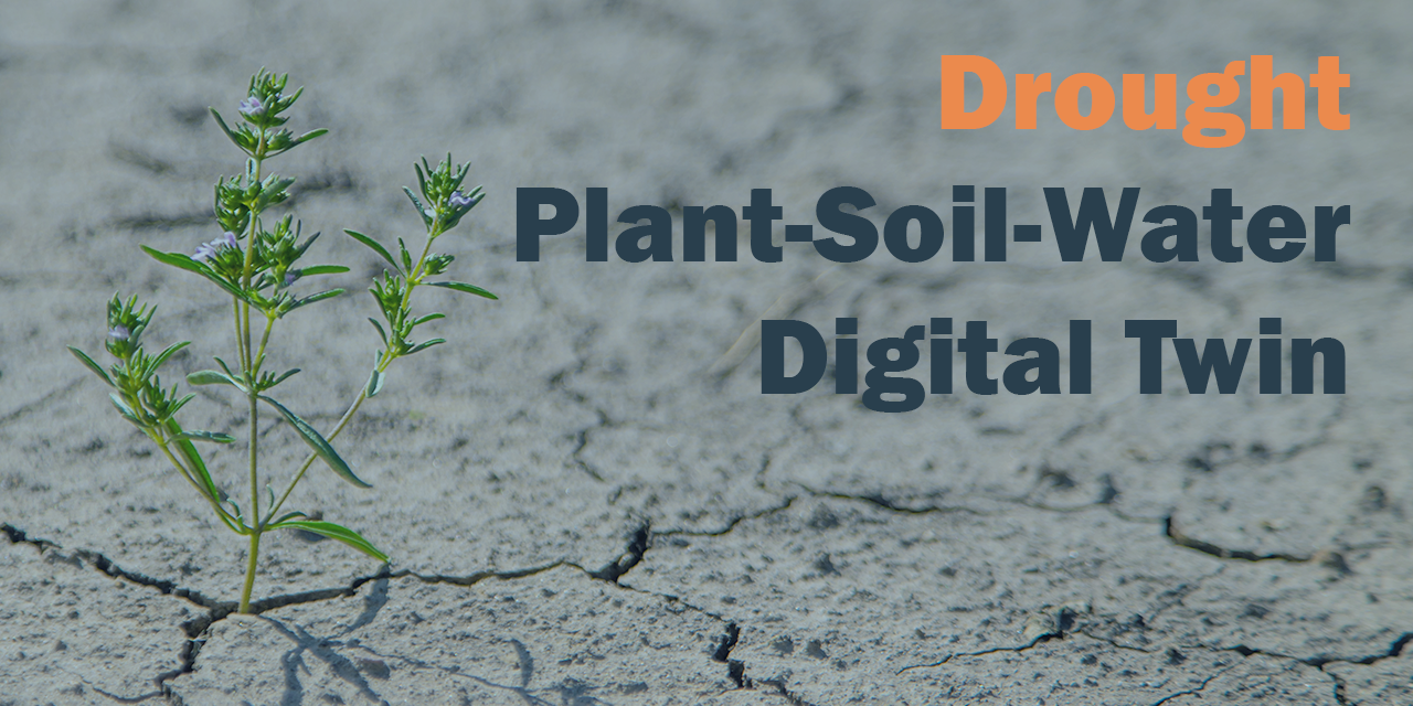
This course addresses drought and water scarcity, a slow-onset crisis impacting water availability. It showcases how EO satellites can monitor drought indicators like vegetation health and soil moisture. In addition, a plant-soil-water digital twin for understanding ecosystem responses will be demonstrated. This digital twin illustrates how integrating EO data into the STEMMUS-SCOPE model can support water managers in scenario analysis (e.g., predicting crop health under prolonged drought).
PCP WISE Academy
-

The PCP WISE Academy is part of the PCP WISE Project and provides learning resources for both providers of EO-based water and climate services and the end-users who apply them. Through a blended approach—combining self-paced online courses with interactive workshops—the Academy fosters a shared understanding of climate risks and promotes the effective use of EO in water management and climate adaptation.
The curriculum features four main courses—on drought, flood, urban heat islands, and land subsidence—together with an additional module on groundwater. These components mirror the key water-related crises addressed by PCP WISE. Each unit includes practical demonstrations of EO applications, with digital twin technologies showcased where relevant.
Training is offered at two levels:
-
Introductory: core concepts and real-world benefits for decision-makers and end-users.
-
Technical: advanced methods, tools, and insights for EO service developers.
-
Available courses
This course focuses on flooding, one of the most frequent and damaging water-related disasters. It features a demonstration of EO capabilities in flood monitoring and management. For instance, attendees might be shown how radar satellite imagery (which can see through clouds) is used to map flood extents during and after heavy rainfall events. The teaching resources showcase a recent flood event in one of the PCP-WISE partner regions. Satellite images before, during, and after the flood are shown and used to assess inundation and direct emergency response.
This course addresses fast-onset climate hazards such as heatwaves, often linked with drought. Using thermal infrared satellite data, participants learn how to monitor urban heat islands and assess extreme heat risks. A digital twin approach, demonstrated through large eddy simulations of cities like Amsterdam and Enschede, shows how satellite information can feed into early warning systems. The lecture highlights how EO-based tools support decision-makers—such as emergency services and city planners—in mitigating the impacts of heatwaves on people and infrastructure.
This course addresses land subsidence and ground stability challenges that threaten water infrastructure, such as dikes, canals, pipelines, and urban areas. Using advanced EO techniques like InSAR (Interferometric Synthetic Aperture Radar), participants see how centimetre-scale ground movements can be monitored across large regions. Demonstrations include examples of subsidence detection in delta cities and along levees, showing how satellite time series reveal sinking zones. The lecture highlights how EO data is transformed into actionable risk information, supporting maintenance decisions and adaptation strategies, such as reinforcing vulnerable embankments.
This course introduces groundwater modelling with MODFLOW 6, covering core model types, grid options, and practical workflows. Participants also learn about advanced modules for flow, transport, subsidence, and water use. A complementary video shows how satellites detect large-scale changes in water storage. Free and open resources provide further tools for study and application.


